Model Import and Building

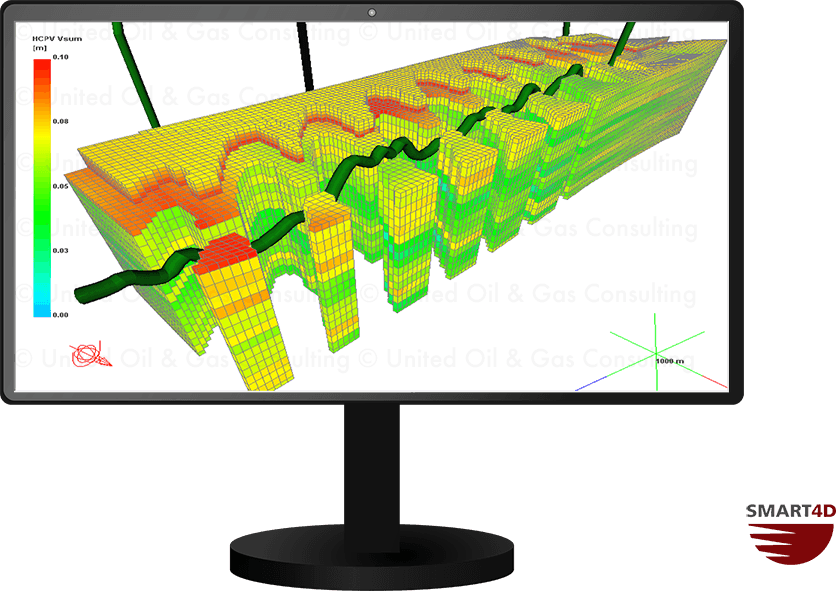
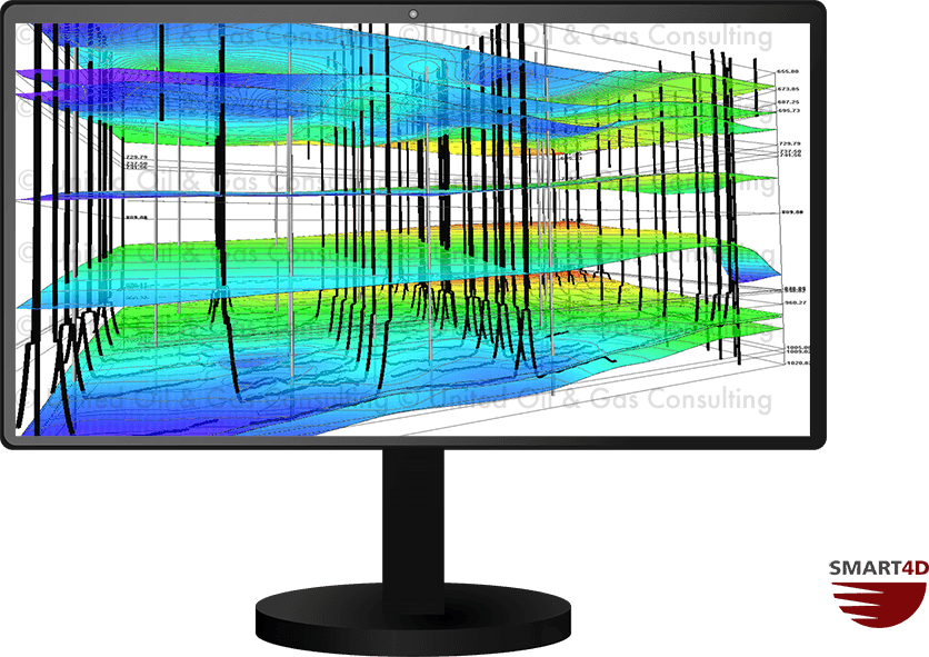
SMART4D geosteering software is based on a 3D model to ensure that all available data is integrated into the user’s understanding of the reservoir. Models can be developed quickly within SMART4D through importing of data sets including: general well data, trajectories, LAS traces, and formation top picks. Structures created in other software packages, such as Petrel, can also be imported into SMART4D.

While-drilling, and post drill, the model can be updated for simultaneously drilling wells as well as future wells in the project area. An unlimited number of projects can be set up, updated and monitored at the same time.

Additional methods to bring data into SMART4D:

  • Trace Digitizer
  • Seismic Interpretation Importer
  • Geo-referencing
  • Faulting

3D Kriging

3D Kriging is a robust and industry standard algorithm that creates 3D models. It makes the most of all available data in a rectangular model block area, which is established by the users and datasets. The process was optimized to produce a quality 3D interpolation or realization of properties with minimum handling of data. The geostatistical process was developed over 3 years, and many additional years of use has made it an easy geo-modelling solution.

SMART4D uses automated 3D kriging which produces maps of structures, isopachs and characterization of any parameter, including Gamma, Porosity, Resistivity. Users simply create runs of multiple structures or characterizations by selecting the resolution in the x, y and z direction. The models run within seconds for structures and 1-5 minutes for characterizations.

Geosteering 3D Understanding

Geosteering Features

Geosteering is the process of adjusting well placement while-drilling to improve overall well performance. StratCORR, Dynamic Profile, Target Planner, and other features are some the geosteering software features setting SMART4D apart.

Using the features of our Geosteering Software has proven to reduce drilling time, reduce dog-leg severity and increase well length in zone.