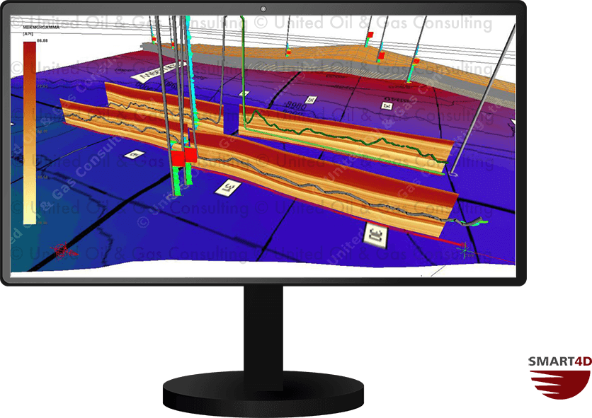
Cross-Section Fences
In the 3D Visualization, users can create fences that cut through the model characterization anywhere they are drawn. Two useful ways to use this feature are to draw a fence along the length of a horizontal well or between two vertical wells. The fence will display the properties of the selected model (gamma, resistivity, porosity etc). As the geosteering progresses and the model is updated, the fences and their properties adjust. The trajectory and display of property changes along the well path assist the user in understanding their position within the target.
The image shows a fence along the length of a horizontal well that was geosteered. The visualization of the gamma property along the fence provided guidance on where the trajectory was within the reservoir, as well as where to drill ahead.
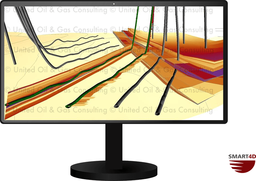
Multiple Views
Users can create an unlimited number of views to suit their needs of interacting with the model. Two common views are plan and profile orientation. Plan view allows users to see the project area from a bird’s eye view, to gain spatial understanding. Profile views allow users to analyze the reservoir in detail by peeling away the layers of the model. All views can be saved and accessed by team members for collaborative interaction.